


"DK Children's Illustrated Reference Atlas" by Brian Delf, 2008
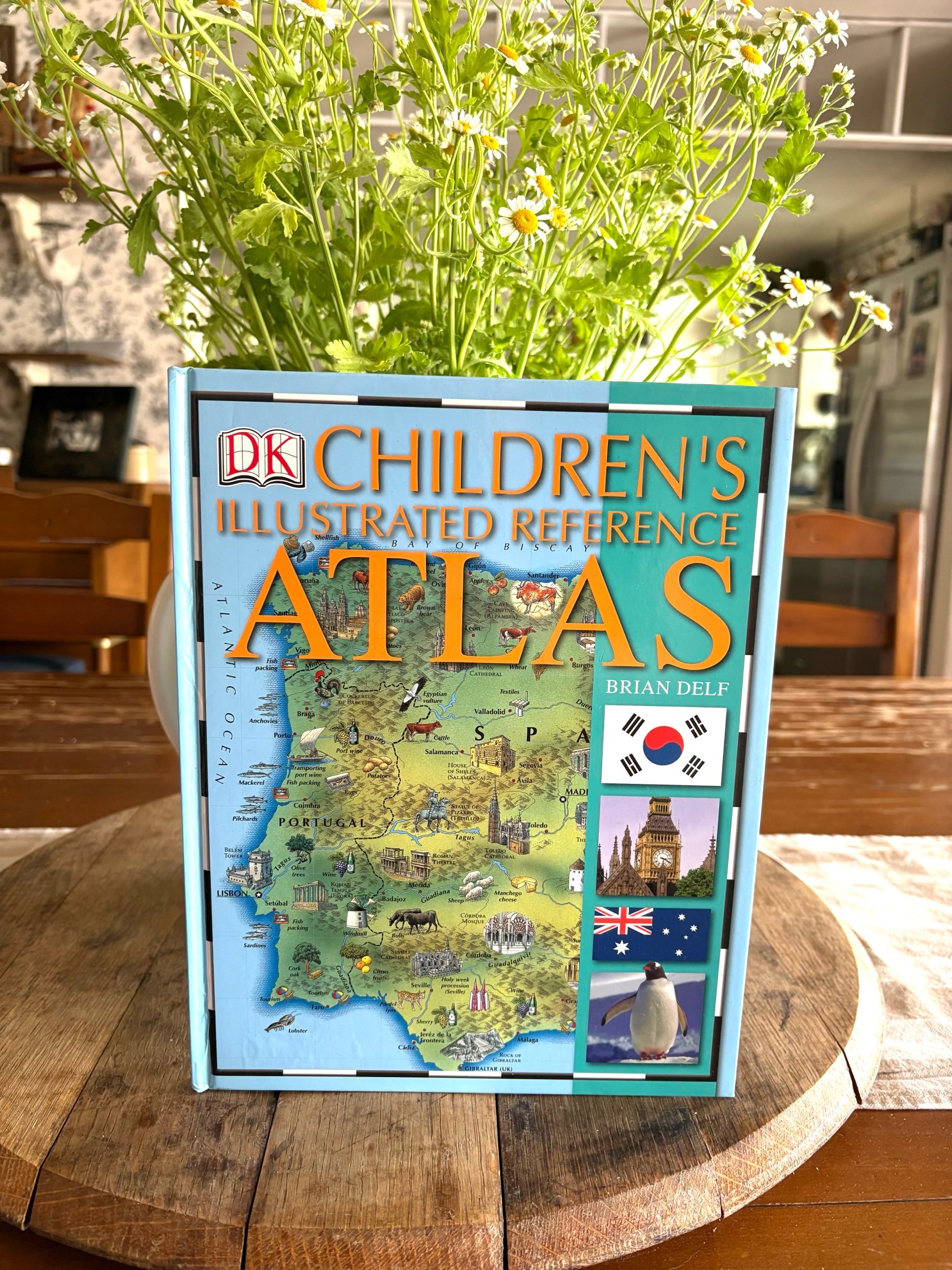
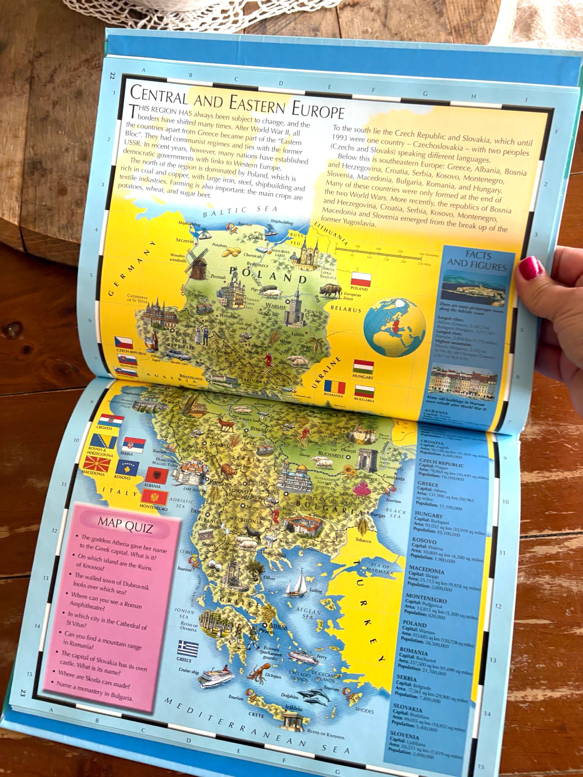
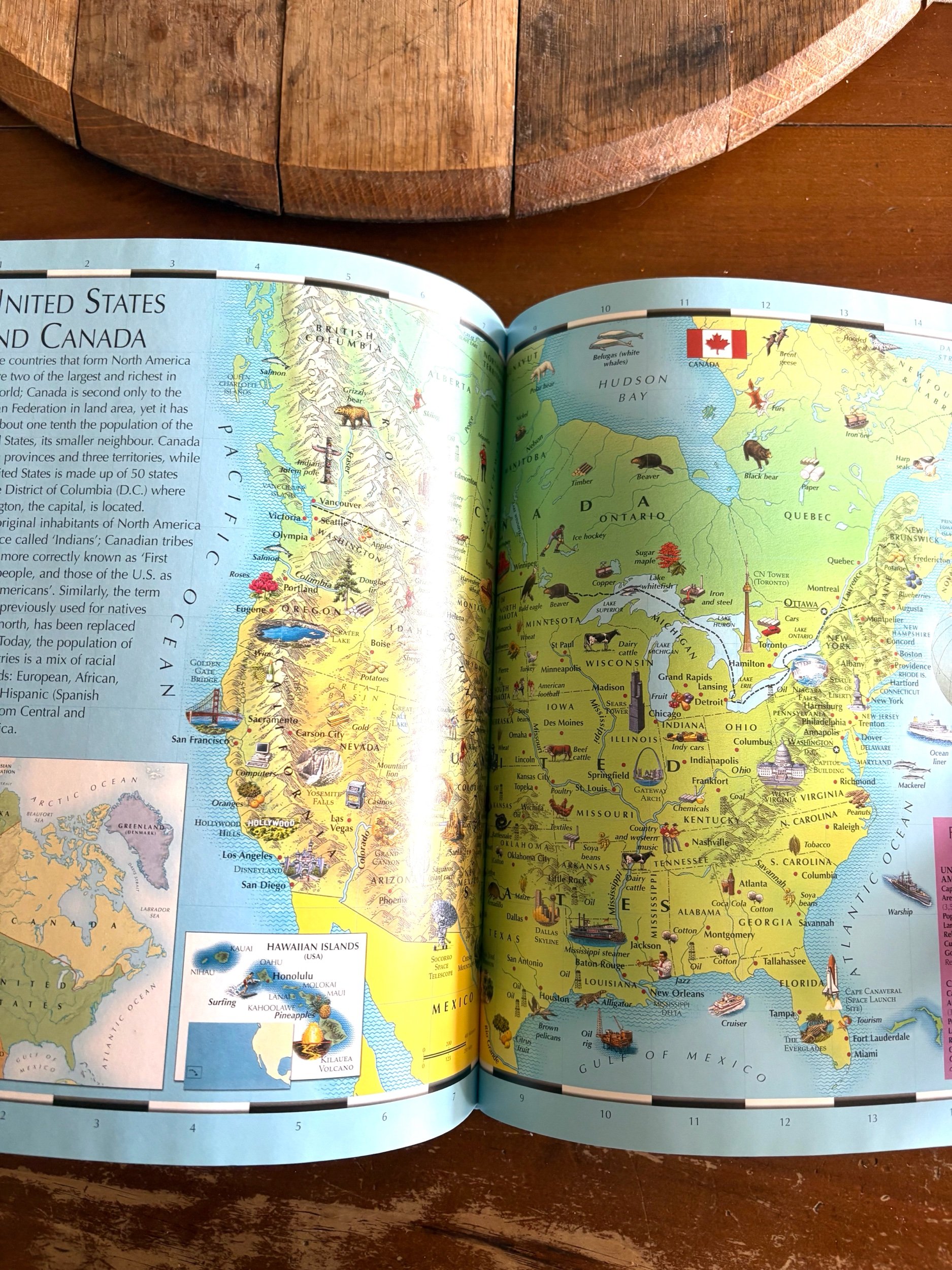
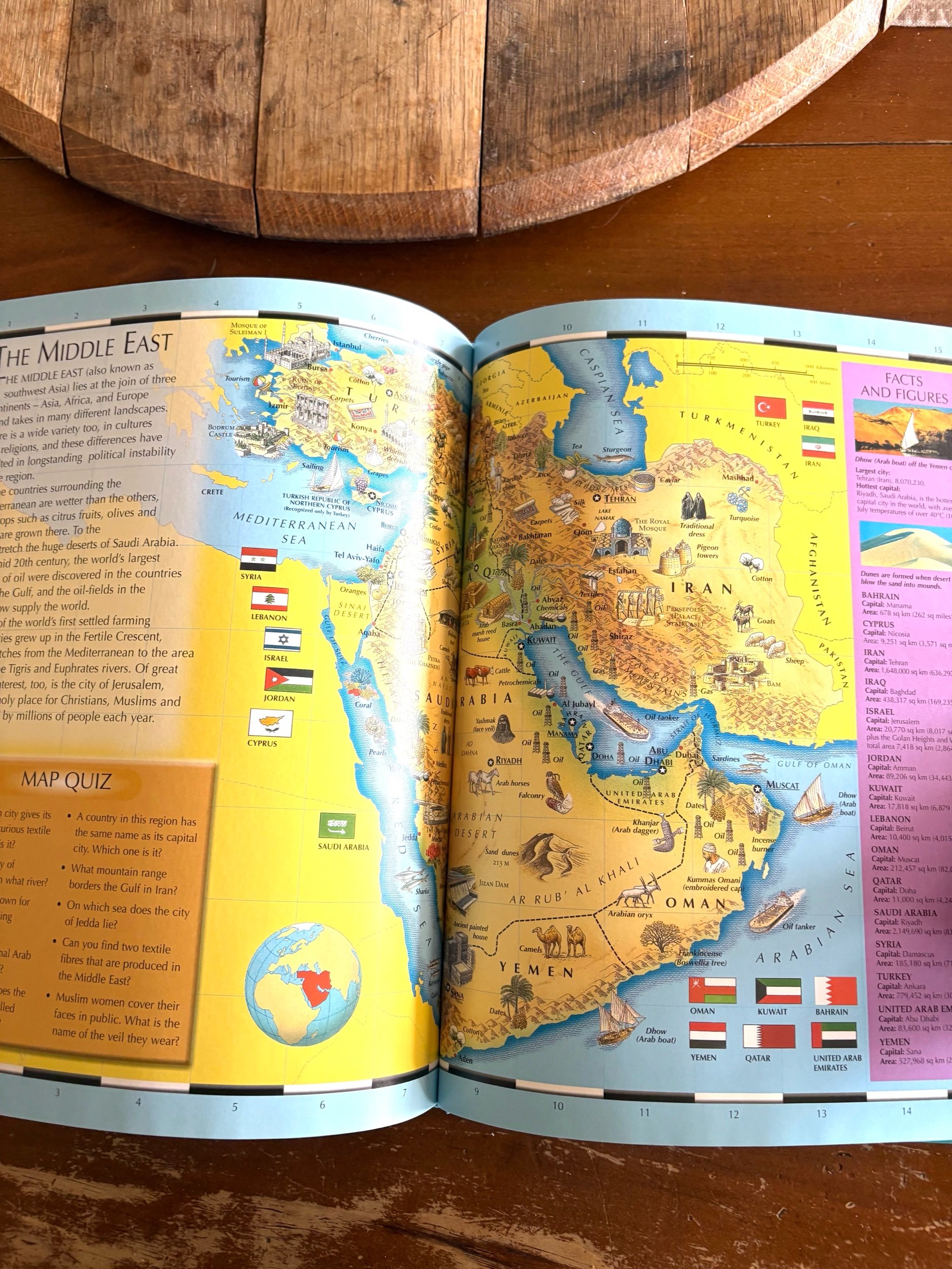
“Fresh, colorful, and beautifully illustrated maps bring the geography of the world to life. Every map is bursting with information - vivid, detailed illustrations show the people, customs, industries, agriculture, famous landmarks and flags of each country. A fun, interactive quiz is included with every map, encouraging the reader to explore and learn more about the countries of the world. Special features boxes provide essential facts and figures about each country, from population and city sizes to the largest lakes and the highest mountains.”
Hardcover, excellent condition.
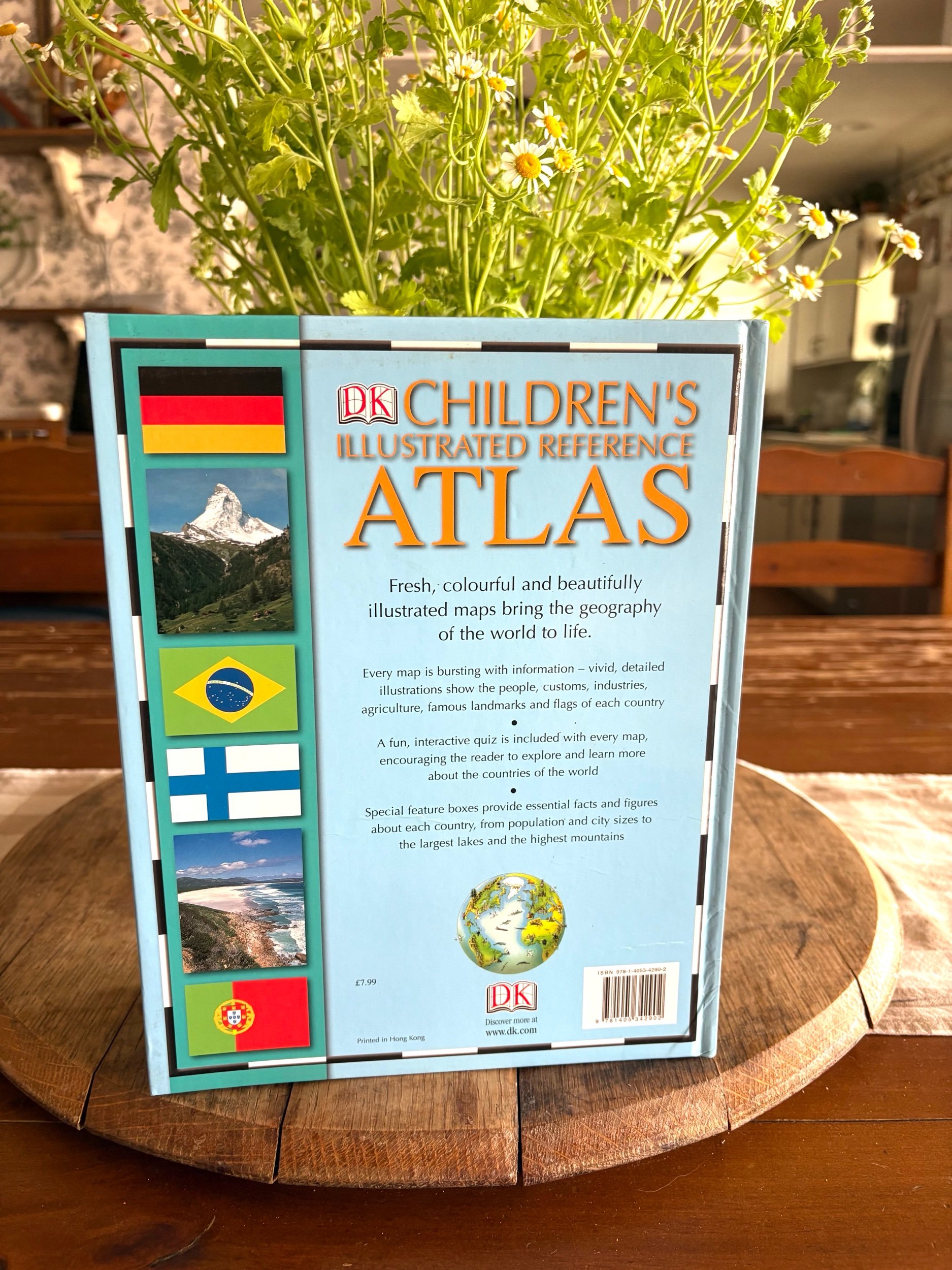